TOPICS
History & Geo
Mapping the Voyage: Add Details
Overview:
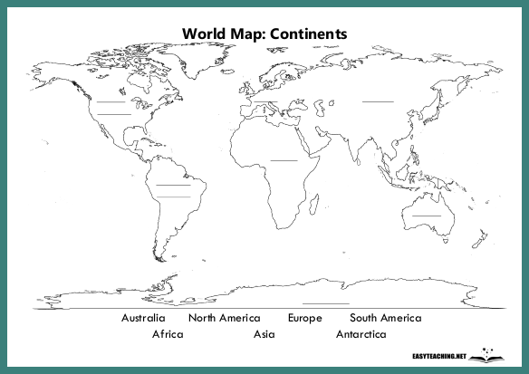
In this mapping activity, students will trace the route of the First Fleet, label the stops made during the journey, and add key details about each location. Designed for middle and upper years students.
Learning Objectives:
- Understand the route of the First Fleet and the stops it made during its journey.
- Enhance map-reading and geographical skills by drawing and labeling locations.
- Develop research and critical thinking skills by adding relevant information about each stop.
How the Activity Works:
Students are given a map that shows the key stops made by the First Fleet on its journey from England to Australia. They will trace the route on the map and label each stop, including important locations such as Portsmouth, Tenerife, Rio de Janeiro, and Botany Bay. Additionally, students will add details about each stop, such as the purpose of the stop, the length of time spent there, and any notable events that occurred at each location. This activity helps students connect historical events with geographical knowledge, while encouraging research and reflection on the significance of each stop along the First Fleet's voyage.
Related resources


