TOPICS
Maths
Dolphin Cove Map: Grid Coordinates
 Available only to premium members
Overview:
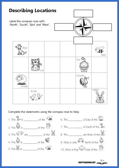
A map activity where students use grid coordinates and a legend to explore Dolphin Cove and answer related questions, helping to develop their map-reading and spatial skills. Designed for students in years 3 and 4.
Learning Objectives:
- Practise identifying locations on a map using grid coordinates.
- Enhance map-reading skills by referring to a grid and legend.
- Develop critical thinking by answering questions related to map features and locations.
How the Activity Works:
In this activity, students are provided with a map of Dolphin Cove, which includes a grid and a legend. They will use the grid coordinates and the map's legend to answer various questions about the locations on the map. For example, they may be asked to write the grid coordinates of the waterfall or identify what is located at specific coordinates like F6. Students will also apply their understanding of grid coordinates to answer more specific questions, such as determining the closest lookout to Max, who is camping at B5. This activity allows students to practise their ability to use both the grid and the legend effectively to navigate a map and identify locations.
Related resources
